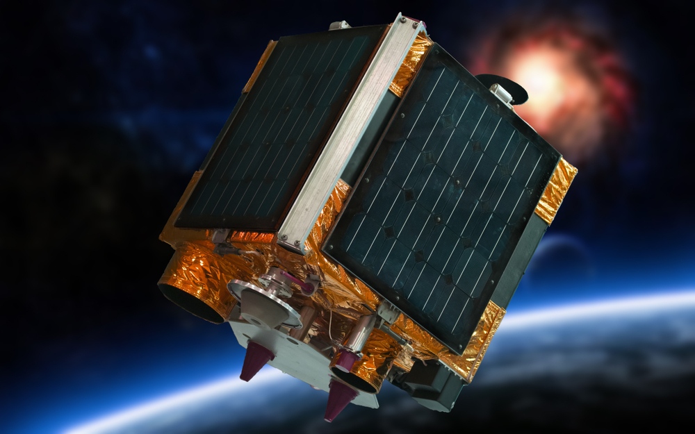
Satellite Remote Sensing and Earth Observation
Remote sensing is the study of something from a remote location or when one is not in physical contact with the object being studied. Satellite remote sensing gathers information from space and Earth orbit. When the information gathered is imagery of the Earth’s surface, that type of remote sensing is considered – Earth Observation.
Remote sensing satellites, some as large as a truck or others as small as a shoebox, circle the Earth and use instruments to detect both visible light for photographs of the Earth’s surface as well as other parts of the electromagnetic spectrum used for ultraviolet, infrared (IR) and microwave imagery, mapping radio emissions on Earth, creating profiles of the atmosphere, and more. Once a remote sensing satellite records the imagery or sensing information, the data collected is sent to a ground station on the Earth and most often to another location, where the data is processed for interpretation and study.

Common Uses of Remote Sensing Imagery and Photographs
Satellite remote sensing and imagery is used for a wide variety of commercial enterprise, government and consumer applications. Here are just a few examples:
- Commercial Applications – Mining, forestry, and fishing are just a few of the commercial industries that use satellite photographs and images to monitor everything from ocean temperatures to tracking fish stocks and to view forest and vegetation growth. Satellite remote sensing firms also provide photographs and geospatial data to commercial web mapping companies such as Google and Apple Maps.
- Weather – Satellites provide frequent observations of the Earth’s surface by using both visible spectrum photographs, water vapor and infrared imagery plus radio occultation data to observe atmospheric moisture, and cloud cover and storms which allows for near-continuous monitoring of global weather conditions and forecasting. Satellite remote sensing data also helps forecasters predict the track and severity of storms, such as hurricanes, which helps save lives.
- Agriculture – Farmers and ranchers use satellite remote sensing imagery and data for monitoring crop conditions to anticipate crop yields, soil moisture or humidity for irrigation management, insects or pests, as well as livestock conditions. All of this information helps to manage agriculture for maximum productivity.
- National Defense and Intelligence – Satellite photographs and imagery are used by the government and military for intelligence gathering and other defense applications, to help determine ground conditions, troop and equipment locations, movements and other data from space.
